November 17, 2017
The article titled “Roadmap for Nationwide Geospatial Data Sharing” was featured on Trajectory, the official magazine of USGIF. It discusses the importance of using GeoCONOPS as a reliable source to support homeland security, public safety, and emergency management.
“GeoCONOPS, overseen by the Department of Homeland Security’s (DHS) Geospatial Management Office (GMO), is a strategic roadmap for national, state, local, private sector, and academic stakeholders to coordinate geospatial information, share data and tradecraft, and communicate in support of homeland security, public safety, and emergency management”, according to the article.
Rebecca Harned, Director, National & Federal for the National Alliance for Public Safety GIS (NAPSG) Foundation, said “if effective, [GeoCONOPS] is really being used to support preparedness activities—planning, exercises. It’s not something you want to try to access for the first time when the ‘big one’ hits.”
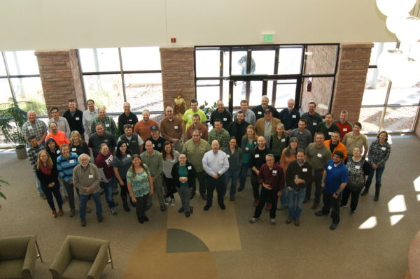
 Hurricane Irma SAR GIS Hot Wash & Workshop
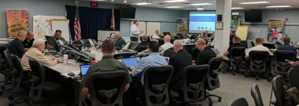