July 9, 2020
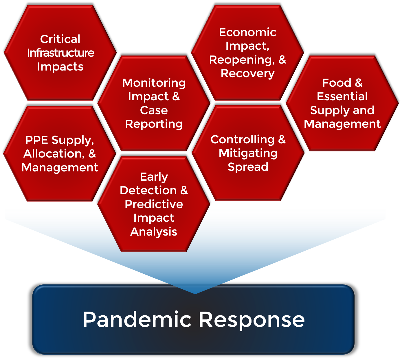 Data-driven decision support tools and technology have been essential at all levels in our nation’s response to COVID-19. From case monitoring to personal protective equipment (PPE) management, technology and data have supported response operations in local, state, and federal agencies nationwide. However, the nationwide demand for location-based data analytics and technology has highlighted barriers in data sharing, technology and policy gaps, and other trouble spots in our pandemic preparedness and response capabilities.
As we continue to respond to COVID-19 and prepare for future pandemics, capturing lessons learned and codifying improvement areas are vital in our effort to take corrective actions that increase preparedness and improve response operations. This is only possible with your participation. By completing this questionnaire, your voice and experiences are heard and accounted for as part of the COVID-19 After Action Review (AAR) process.
NAPSG Foundation, the Urban and Regional Information Systems Association (URISA), and the National States Geographic Information Council (NSGIC) have collaborated to release a COVID-19 Technology & GIS AAR Questionnaire to collect feedback on the use of data-driven decision support tools and technology by the public safety community in responding to COVID-19. The information gathered will help inform how we prepare for and respond to future pandemics.
Questions? If you have questions about this research study, please email Charlotte Abel at cabel@publicsafetygis.org.
—
February 2021 Update: The COVID-19 Tech & GIS After Action Report & Improvement Plan are now live. To access the AAR, click here!


