Resources
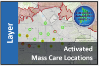 Activated Mass Care Locations (City of Los Angeles)
Activated Mass Care Locations during Emergency Operations in the City of Los Angeles (Public Data)
Type: Feature Service
Last Modified: July 16, 2023
 National Shelter System - Open Shelters
This map layer displays data from the Federal Emergency Management Agency - National Shelter System database.
Type: Map Service
Last Modified: July 27, 2023
 ESF 6: Mass Care & Sheltering
ESF 6: Mass Care, Emergency Assistance, Temporary Housing, and Human Services
Type: Web Map
Last Modified: December 26, 2019
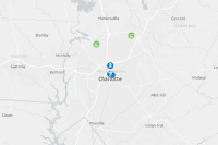 Mass Care Facilities Locater Map
The map is used for the public facing "Mass Care Facilities Locater" Web app. Displays open and daily facilities in Mecklenburg County.
Type: Web Map
Last Modified: March 23, 2021
 Mass Care Housing Human Services ESF 6
Schools, Colleges, and Universities. Adult Residential Facilities, Day Care, Home Care, RCFEs, and Child Care Homes download from state website 1/20/2019....
Type: Feature Service
Last Modified: February 9, 2019
 DRAFT: National Mass Care EXERCISE Apps
DRAFT: National Mass Care EXERCISE Apps
Type: Web Mapping Application
Last Modified: May 30, 2019
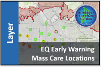 EQ Early Warning Mass Care Locations Public View
Mass Care Locations in the City of Los Angeles for the ShakeAlertLA app
Type: Feature Service
Last Modified: July 16, 2023
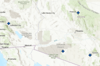
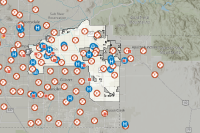
 ESF 6 - Arizona Mass Care Map
National Shelter System (NSS) database (Red Cross)
Type: Web Map
Last Modified: June 28, 2023
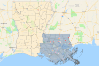
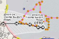 Active Hurricanes and Dioceses
This map shows currently active hurricanes in relation to their recent path, predicted path, and the population that falls underneath them.
Type: Web Map
Last Modified: October 28, 2019
 Active Hurricanes, Typhoons, and Cyclones in relationship to Dioceses
Active Hurricanes, Typhoons, and Cyclones in relationship to Dioceses
Type: Web Mapping Application
Last Modified: September 8, 2021
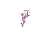
 Ivory_Coast_Significant_Event_Areas
These layers depict the Ivory Coast Significant Event Areas in the Human Geography Information Survey.
Type: Map Package
Last Modified: October 10, 2017
 Liberia_Human_Assistance_and_Disaster_Relief
Human Assistance and Disaster Relief
Type: Feature Service
Last Modified: August 10, 2018
 Affected Population of Sudan Flooding
This map illustrates the Affected population in Sudan Flooding
Type: Feature Service
Last Modified: September 13, 2020
 Affected Roads
Affected roads are derived from analysis using 3DEP and TIGER data during the 2019 flood at XXX CFS release from the Keystone Dam.
Type: Feature Service
Last Modified: December 15, 2023
 Liberia_Human_Assistance_and_Disaster_Relief
Human Assistance and Disaster Relief
Type: Map Package
Last Modified: October 10, 2017
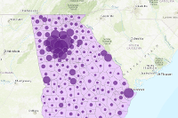
 Summarize_Affected_Population_by_Provinces
Feature layer generated from Summarize Within
Type: Feature Service
Last Modified: January 14, 2020
 GIS Project
This will be my GIS Project. The presence of an airport and how it affects the surrounding populations.
Type: Web Map
Last Modified: March 31, 2020
 Nigeria_Significant_event_Areas
These layers depict the Federal Republic of Nigeria Significant Events in the Human Geography Information Survey.
Type: Map Package
Last Modified: October 10, 2017


