Resources
 All Marin Dams
This feature service is intended to include all of the dam inundation areas for dams within Marin County. Not all dams' inundation areas are available & we know a few are missing. Please see the full description for details & references. This information is publicly disclosable.
Type: Feature Service
Last Modified: December 18, 2023
 Tsunamis in History: Using Data to Improve Public Safety
While potentially devastating and deadly, each tsunami event has provided an opportunity—through the stewardship of data and the application of science—to help coastal residents across the globe become more prepared for tsunamis. These seven tsunami events had an impact on advancing tsunami science.
Type: StoryMap
Last Modified: November 27, 2023
 Stop Data 2019 to 2022
The accompanying data cover all MPD stops including vehicle, pedestrian, bicycle, and harbor stops for the period from July 22, 2019 to December 31, 2022. A stop may involve a ticket (actual or warning), investigatory stop, protective pat down, search, or arrest. As of July 9th 2019, MPD adjusted their stop data collection process. For Annual Reports and more information regarding police stops, please see: https://mpdc.dc.gov/stopdata
Type: Feature Service
Last Modified: March 4, 2024
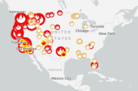 42. U.S. Wildfire Incidents and Perimeters
This layer shows wildfires that have been updated within the past 7 days in the United States from IRWIN and NIFC information.
Type: Feature Service
Last Modified: December 7, 2022
 Stop Data
The accompanying data cover all MPD stops including vehicle, pedestrian, bicycle, and harbor stops for the period from January 1, 2023 to June 30, 2023. A stop may involve a ticket (actual or warning), investigatory stop, protective pat down, search, or arrest.
Type: Feature Service
Last Modified: March 4, 2024
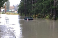 Snohomish County Operations Response
Operations Response App for Snohomish County, Washington. Select area of interest for storm warnings, hazards, road closures, and detours.
Type: Web Mapping Application
Last Modified: August 12, 2021
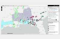 Weather Information Web Map
Situational Awareness Web Map template from the National Alliance for Public Safety GIS (NAPSG).
Type: Web Map
Last Modified: April 13, 2020
 Weather Information Map
Alabama focused weather information map for situational awareness. Modeled on the National Alliance for Public Safety GIS (NAPSG).
Type: Web Mapping Application
Last Modified: April 12, 2020
 Weather Warnings
Weather Warnings Application
Type: Web Mapping Application
Last Modified: December 7, 2020
 Multi-risk alert card - RSS status feed (dots)
Multi-risk alert card - RSS status feed (dots)
Type: Map Service
Last Modified: August 16, 2022


