The nation’s only preparedness summit dedicated to advancing the
use of innovative technology for first responders.December 3 & 4, 2018
University of Colorado in Boulder, Colorado

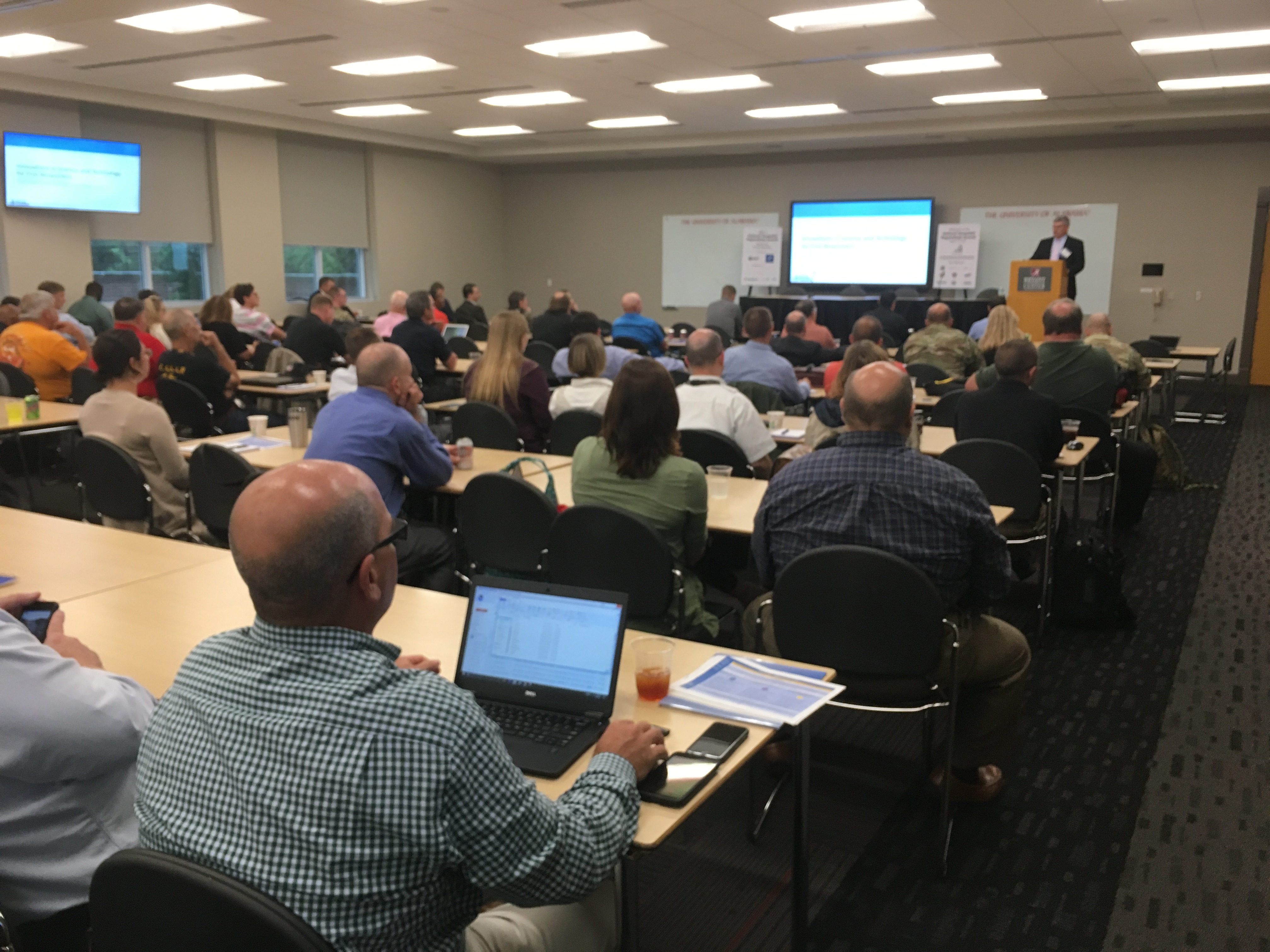
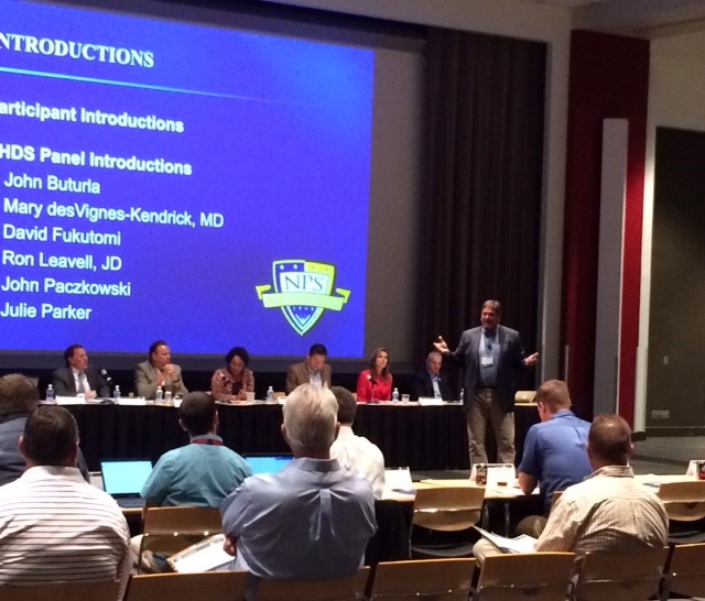
Join us for NAPSG’s 4th flagship National Geospatial Preparedness Summit (NGPS), as we bring together public safety leaders, first responders, and GIS professionals from across the nation. NGPS weaves together a unique combination of cutting-edge education and training programs involving hands-on training, policy workshops, and field-oriented exercises. We will share experiences from recent disasters, deepen skills and knowledge, build relationships, and develop real solutions to the most vexing challenges in implementing innovative technology for disaster preparedness and response.
Who Should Attend?
This year, we are encouraging participation in small teams of 2-3 from each agency or jurisdiction. Each agency or jurisdiction team ideally would consist of individuals representing the following roles:
- Decision Maker/Manager/Chief
- First Responder/Operator/Planner
- GIS Staff/Technologist
Which disciplines should participate?
- Public Safety Officials & First Responders – Management level & operational public safety. Disciplines include: Emergency Management, Law Enforcement, Fusion Centers, Fire/EMS, and Search & Rescue.
- National Guard & Military – State and National Guard Bureau and military leaders who work on advancing the use of GIS for domestic operations.
- GIS Practitioners – State GIS Coordinators/GIOs, GIS Technicians, Analysts, Specialists, GIS Managers, CTOs, IT Specialists, and Interoperability Coordinators.
- Federal Agencies – FEMA HQ and Regions, FBI, NOAA, Depts. of Homeland Security, Justice, Commerce, Energy, Transportation, DOI, etc.
- Volunteers Who Support Disasters – American Red Cross, Crisis Mappers, etc.
- Infrastructure Operators – Railroads, Airports, Electric, Water and other Utilities, etc.
- Private Sector – Only available to event sponsors or Federal Contractors for a fee.
Agenda At-A-Glance
Click Here for the complete Agenda
Day 1 – Monday, December 3
- Disaster Innovation Talks featuring an exceptional slate of Leaders blazing the trail in advancing practical uses of the latest technology in preparedness and recent disasters.
- Hands-On GIS Training Modules focused on web GIS skills for local disaster readiness and response.
- Master Class on Creating Change & Impact to gain wisdom and insight from leaders in public safety who have successfully instituted change, moving their agencies and communities to higher levels of resilience and preparedness by applying advanced technology.
- National Roundtable on Emerging Technology to learn about the latest in location-based technology and to determine the highest priority unmet needs and requirements.
- Field Simulation and Exercise getting you into the field with the latest in standardized solutions and tools for collecting field data
- NAPSG’s Hosted Reception for the 2018 Awards for Excellence in Public Safety GIS
Day 2 – Tuesday, December 4
- Disaster Innovation Talks featuring emerging leaders that have a success story to share in using advanced technology to change outcomes
- Technical Training on deploying core operational information with Web GIS
- Workshop on Current and Future State of the Union on Disaster Preparedness on today’s existing capabilities in national preparedness data, and defining the highest priority gaps and unmet needs for future investment
- Winter Wrath 2018 * Hands-On Functional Exercise to increase knowledge and skills in using location-enabled situational awareness, field collection, and resource management tools for improved operational coordination and decision making
- Hot Wash and Debrief to develop strategies for implementing skills gained, best practices, tools, and resources discussed over the three days.
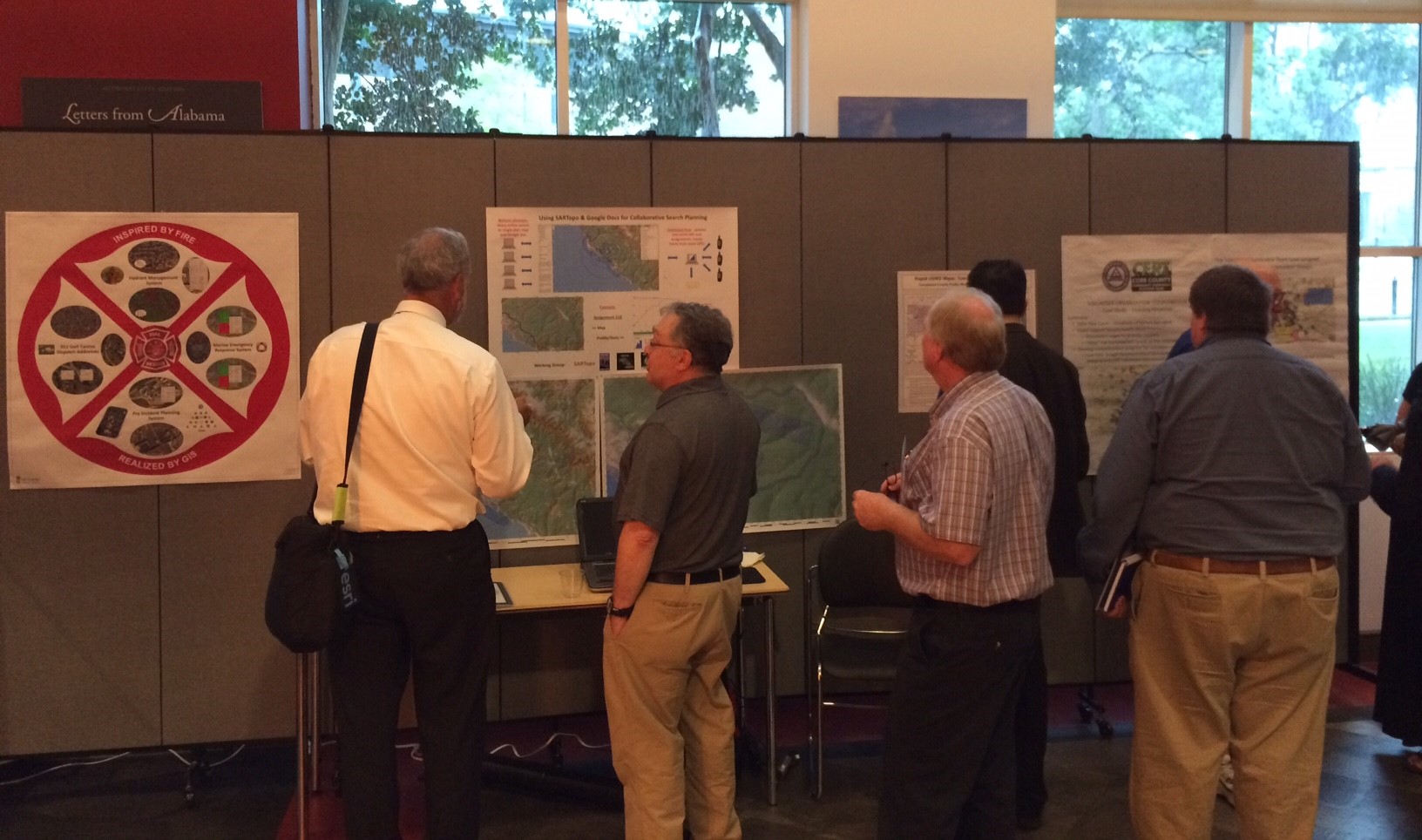
- Map Gallery Social
Optional * Day 3 – Wednesday, December 5
Post-Summit Workshops and Closed Meetings
- 1/2 Day National Geo-Enabled Planning Workshop – Collaboratively validate and refine standardized frameworks and guidance around deliberative and crisis action planning across local, state, territory, tribal, and Federal agencies. This interactive workshop builds from the NGPS program and exercise on days 1 and 2. Together we will work together to:
- Understand limitations in applying plans during real-world events
- Identify and address key challenges in integrating geo-enabled technology and analysis in planning
- Define model practices in geo-enabling the deliberative, operational, and crisis action planning process
– If you are interested in participating in this workshop, please be sure to select Day 3 (December 5) when registering for NGPS.
- FEMA Geospatial Working Group Meeting is a closed meeting for FEMA and other Federal staff who are part of the GWG.
Points of Contact
- Agenda, Speakers, & Sponsorships:
Rebecca Harned
Telephone: (202) 895-1711
rharned@publicsafetygis.org - Registration, Scholarships, Travel Logistics, & Hotel Room Block Information:
Angela Pervel
Telephone: (202) 895-1711
apervel@publicsafetygis.org