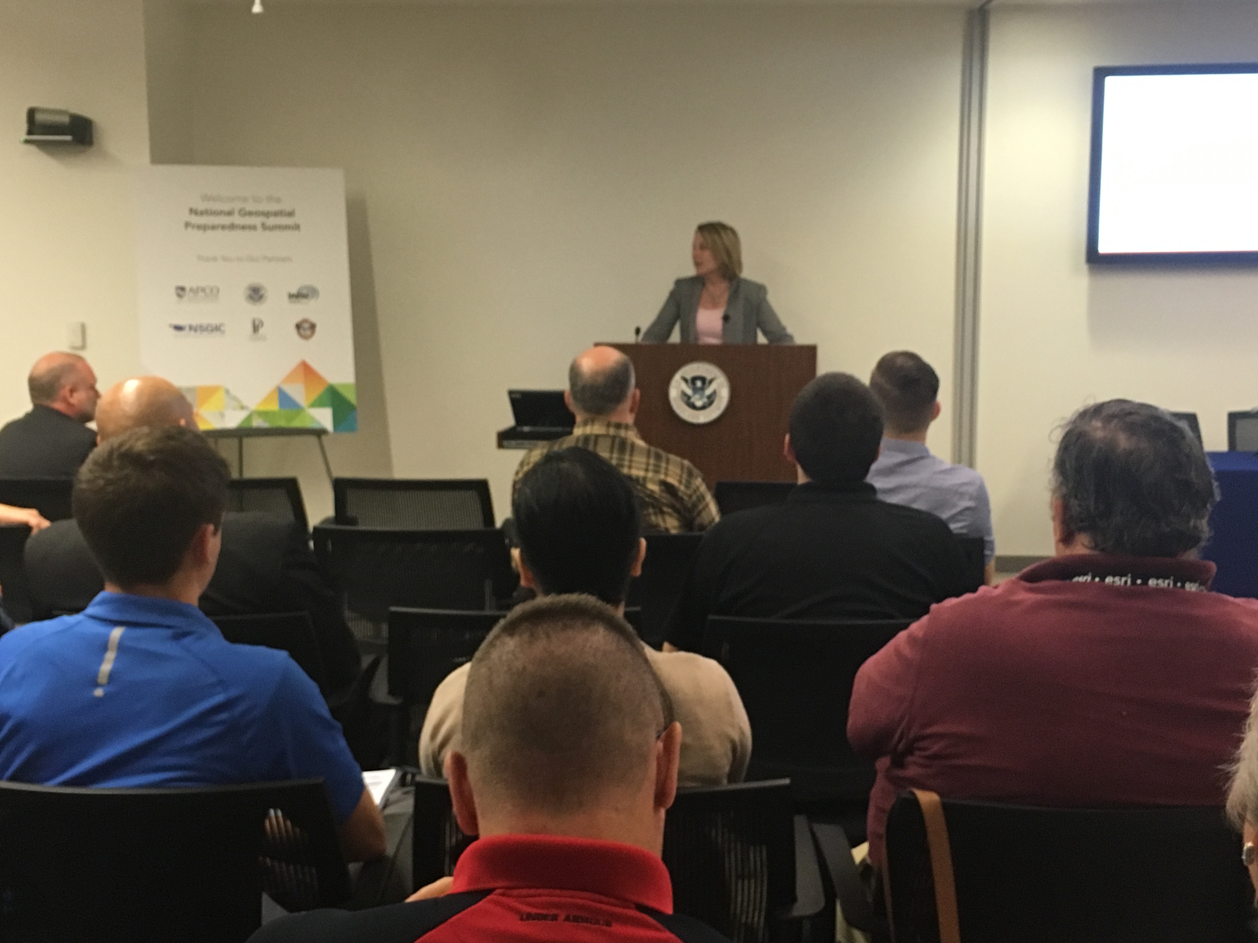
The nation’s only preparedness summit dedicated to advancing the use of location-enabled decision support technology and data.
When: August 7-9th
Where: University of Alabama, Tuscaloosa
The National Geospatial Preparedness Summit (NGPS) brings together public safety practitioners and GIS responders – to build skills in developing and implementing GIS-based decision support tools, share best practices, build peer relationships, and validate skills and capabilities through workshops and exercises.
EVENT INFORMATION
All the training workshops and materials are provided at NO COST to public-sector participants from Federal, local, state, and tribal government.
Agenda At-A-Glance
Complete Agenda available via the link on the right-hand menu
Day 1 – Monday, August 7
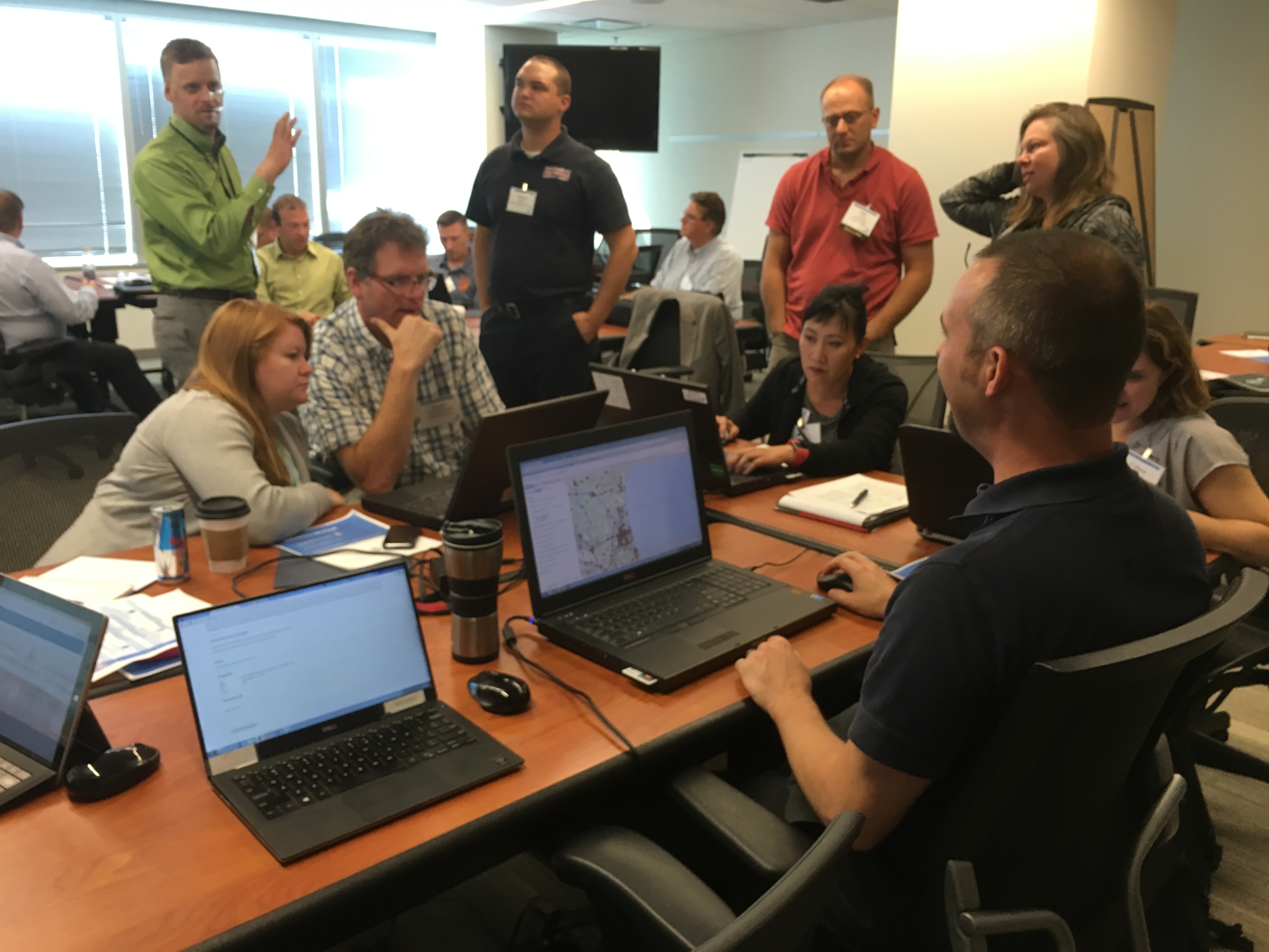
- Hands-On Technical GIS Training in desktop and web skills for GIS responders and practitioners
- National Data Preparedness Workshop to define core information requirements and provide requirements for national data assets available to the public safety community
- Executive Leadership Seminar with the US Naval Postgraduate School Center for Homeland Defense and Security, including a tabletop exercise guiding participants to define a roadmap for the next generation of situational awareness capabilities.
- Map Gallery Competition and Hosted Networking Social
– Reserve a spot in the Map Gallery – deadline has been extended to July 15th
Day 2 – Tuesday, August 8
- Plenary Sessions featuring an exceptional slate of Keynote Speakers leading the charge in advancing public safety’s use of technology
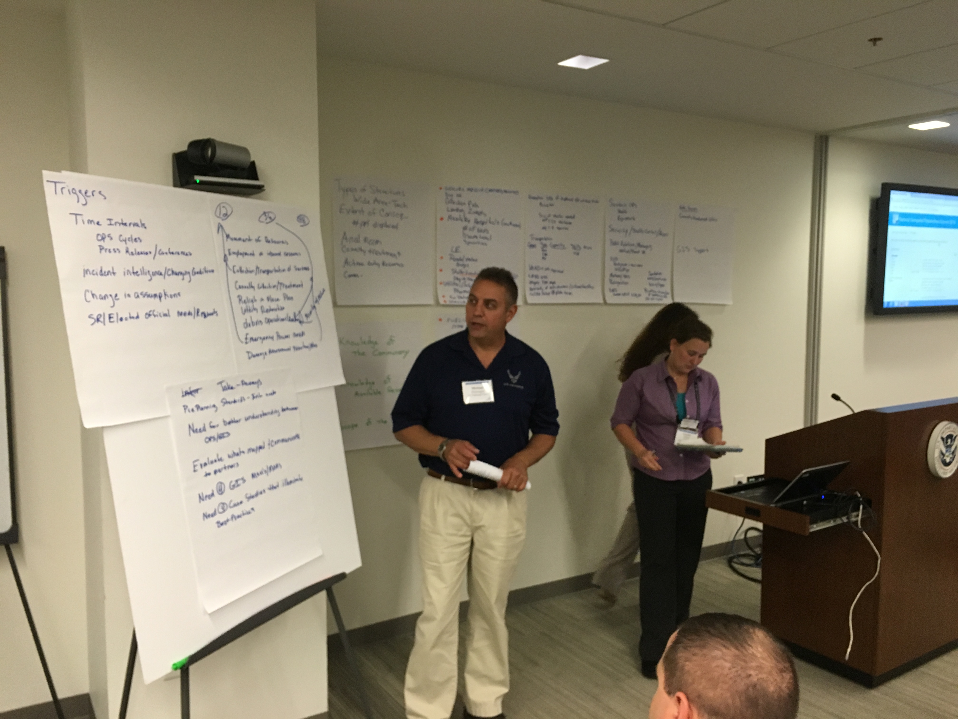
- Best Practice Lightning Talks and Panel Sessions focused on lessons learned from real-world events
- Workshops across disciplines to develop actionable solutions for advanced technology use in preparedness and emergency operations
- NAPSG Foundation Hosted Reception for the 2017 Awards for Excellence in Public Safety GIS
Day 3 – Wednesday, August 9
- Keynote Speakers
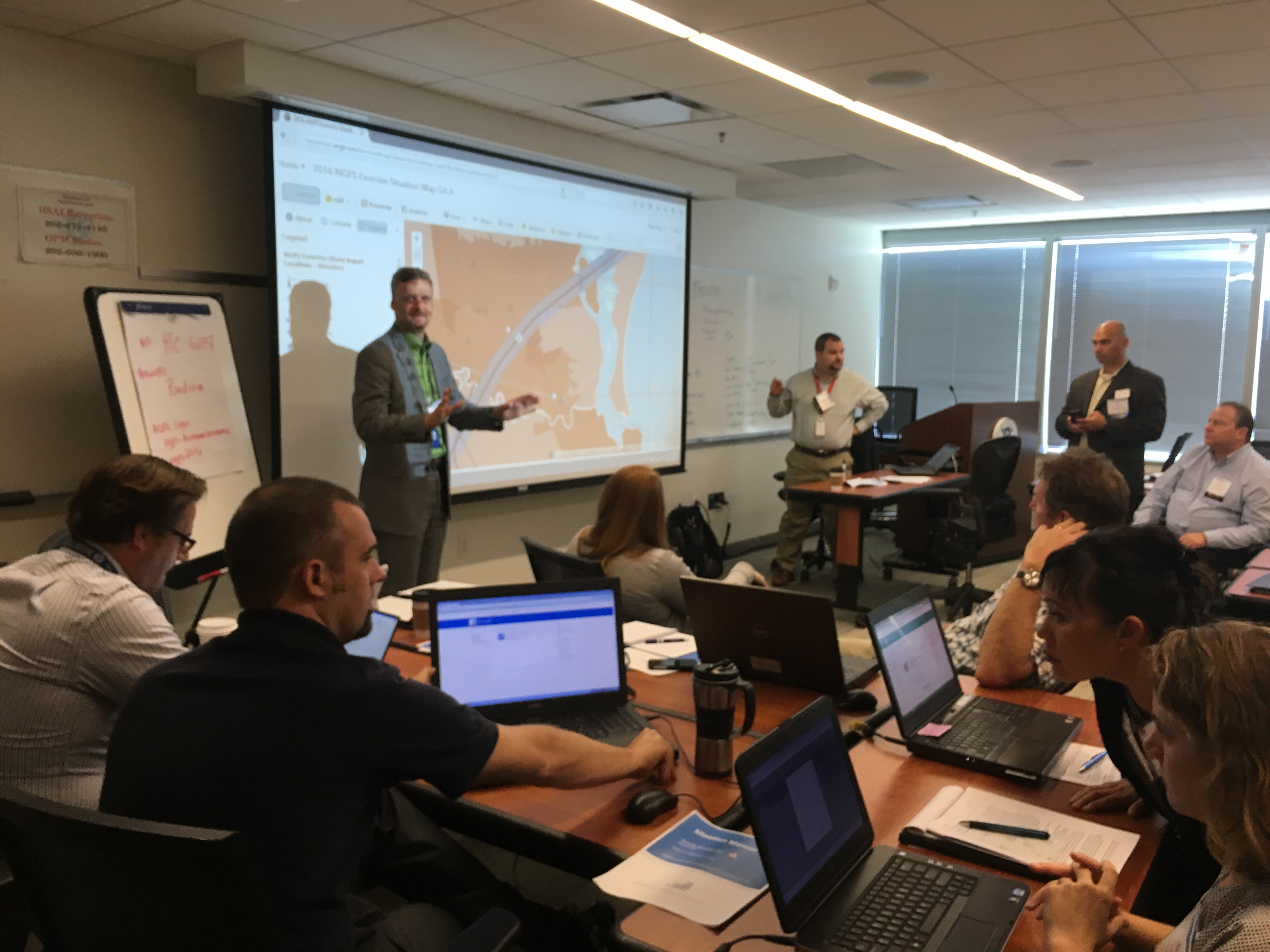
- Functional Exercise & Stress Test to validate your ability to develop and apply technology-enabled capabilities for decision support in a flood incident scenario
- Hot Wash and Debrief to develop strategies for implementing skills gained, best practices, tools, and resources discussed over the three days


Who should attend?*
- Public Safety Officials & First Responders – Management level & operational public safety. Disciplines include: Emergency Management, Law Enforcement, Fusion Centers, Fire/EMS, and Search & Rescue – Summit content will be applicable to all disciplines.
- National Guard & Military Personnel – State and National Guard Bureau and military leaders who work in, or are interested in, advancing the use of GIS for domestic operations and homeland security.
- GIS Practitioners & Responders – State GIS Coordinators/GIOs, GIS Technicians, Specialists, GIS Managers, Technology Coordinators, Local CTOs, IT Specialists, and Interoperability Coordinators.
- Federal Agencies – FEMA HQ and Regions, Depts. of Homeland Security, Justice, FBI, Energy, Transportation, NOAA, DOI, etc.
- Volunteers that Support Disasters – American Red Cross, Crisis Mappers, etc.
- Infrastructure Owners & Operators – Railroads, Airports, Utility Providers, Water and Wastewater Providers, etc.
- Private Sector – Only available to event sponsors.
*Due to space limitations, registering does not guarantee a seat at the Summit. Participants will receive a decision notification via email within two weeks after registering. Hotel room block details will be provided to all approved participants.

NGPS Points of Contact:
- Agenda, Speakers, and Sponsorships:
Rebecca Harned
Telephone: (202) 895-1711
rharned@publicsafetygis.org
- Travel Logistics, Registration, and Hotel Room Block Information:
Angela Pervel
Telephone: (202) 895-1711
apervel@publicsafetygis.org


