![]()
On March 26th, 2020, the FEMA Response Geospatial Office (RGO) and NAPSG Foundation hosted an Emergency Management (EM) Geo Forum to discuss the needs and uses for flood models in incident management.
Seminar Objectives
In this EM Geo Forum, participants:
- Learned about flood modeling needs in various stages of a flood event.
- Gained an understanding of available flood modeling products and their corresponding uses and limitations.
- Learned about the uses of modeled versus observation-derived depth-grid products.
- Gained insight into FEMA’s approach to flood modeling.
Speakers
This forum featured speakers from the emergency management community who have experience in flood modeling applications. Speakers represented all parts of the disaster spectrum to include Preparedness, Mitigation, Response, and Recovery.
- Katherine Picchione – Crowdsourcing Specialist, FEMA
- Casey Zuzak – Natural Hazards Risk Assessment Program (NHRAP) Senior Risk Analyst, FEMA
- Adam Barker – Geospatial Analyst, FEMA
- Matt Welshans – Geospatial Information Unit Lead, FEMA
- Phillip Ulbrich – Emergency Management Specialist, FEMA
Seminar Resources
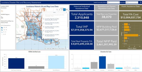
Louisiana Disaster Risk and Recovery Assessment Dashboard
Background Information
The Emergency Management (EM) Geo Forum is part of a virtual seminar series featuring best practices and resources to advance emergency management through geospatial capabilities. These seminars promote the integration of innovative technology and solutions in day-to-day operations.


