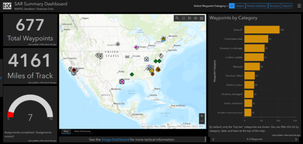
On January 30th, 2020, the FEMA Response Geospatial Office (RGO) and NAPSG Foundation hosted an Emergency Management (EM) Geo Forum to discuss geospatial resources and best practices that aid in search and rescue (SAR) operations.
Seminar Objectives
In this EM Geo Forum, participants:
- Learned the purpose of SAR data collection and the ways in which this data can be used.
- Learned field data collection methods and ways to integrate them into an organization.
- Learned how to develop an organizational game plan to transform data and technology into actionable information that changes the outcome for survivors.
- Gained insight into FEMA’s timeline and geospatial strategy for SAR.
Speakers
This EM Geo Forum featured speakers from the emergency management community who have first-hand knowledge and experience in SAR operations.
- Paul Doherty, PhD, NAPSG Foundation
- Jared Doke, NAPSG Foundation
- Adam Barker, PhD, FEMA Response Geospatial Office
- Lance Gilmore, FEMA Urban Search and Rescue
Seminar Resources
Background Information
The Emergency Management (EM) Geo Forum is part of a virtual seminar series featuring best practices and resources to advance emergency management through geospatial capabilities. These seminars promote the integration of innovative technology and solutions in day-to-day operations.


