May 16th, 2022
The National Alliance for Public Safety GIS (NAPSG) Foundation is pleased to release the
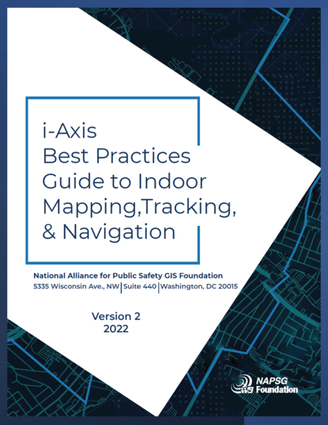
second version of the i-Axis Best Practices Guide to Indoor Mapping, Tracking, and Navigation. The purpose of this guide is to accelerate the adoption of Location-Based Services (LBS) by providing first responders with a resource to start or improve their current programs.

This version has been developed over the past year with
input from the LBS First Responders Working Group, a group of experts made up of representatives from law enforcement, fire, emergency medical services, emergency management, the private sector, and the military. Additional input has been solicited from researchers working on LBS and vendors who provide these technologies.
Download the Best Practices Guide! The guide is available for download here.
NAPSG Foundation has set up an i-Axis Community Hub. This hub provides documentation on LBS Working Group meetings, sandboxes to test out mapping, tracking, and navigation applications, and additional resources for agencies looking to implement a program.
Funding for this Guide was provided under financial assistance award No. 70NANB19H006, from the National Institute of Standards and Technology (NIST) Public Safety Communications Research (PSCR) Division’s Public Safety Innovation Accelerator Program (PSIAP).


