November 7, 2017
Broomfield, Colorado
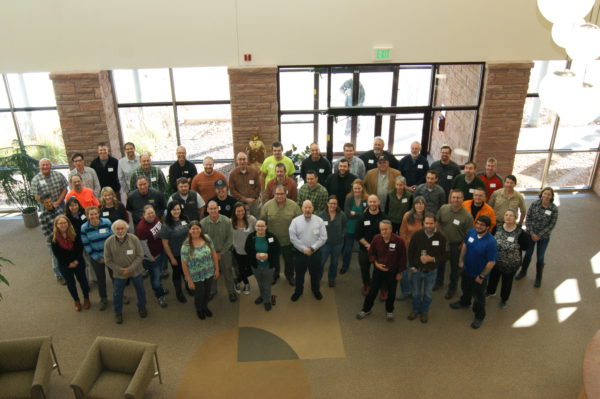
Over 50 Search & Rescue (SAR) leaders and GIS responders gathered in Broomfield, CO from November 6 through November 8 for the 9th annual SAR GIS Workshop. The purpose of the workshop was to build capacity and advance the use of location and analytics-based decision support tools across the SAR community for missing persons and disaster SAR.
The National Park Service shared lessons learned in using GIS tools in support of routine incidents such as the use of Unmanned Aerial Systems (UAS or drones) in search of missing persons in remote wide areas. A member of the federal Urban Search & Rescue (USAR) Missouri Task Force 1 provided a briefing on the use of GIS-based field data collection tools used to support disaster SAR operations in Hurricanes Harvey and Irma. The diversity of perspectives and experiences generated a rich dialogue around challenges and potential solutions. Paul Doherty, Chairman of the NAPSG Foundation SAR GIS Working Group, shared insight into some of the solutions that the participants identified, “Some action items are to investigate a SAR Open Data Portal, need to enhance MapSAR to support ArcGIS Online and Pro, and the use of Slack for collaborative communication.”
The second and third days of the workshop included practical hands-on training that provided the opportunity for participants to develop knowledge, skills, and abilities in the latest GIS technology capabilities for SAR. The workshop culminated with a field-based and hands-on exercise where participants stressed tested the latest technology and new skills in a wide area SAR scenario.
NAPSG Foundation will be publicly publishing the workshop materials in late November. To learn more about the NAPSG Foundation SAR GIS Working Group, visit: http://arcg.is/1LuO9L.


