Monthly Archives: August 2019

Participate in Challenge to Automate Damage Assessment

When disaster strikes, speed is critical. The time it takes to properly assess damage in the wake of a major event can be the difference between life and death. The Defense Innovation Unit’s xView2 Challenge seeks to automate post-disaster damage assessment and speed up emergency response, inviting machine learning experts to develop computer vision algorithms for an opportunity to win part of a $150,000 prize.

Participants’ algorithms should be designed to analyze satellite and aerial imagery in order to localize and categorize various types of building damage caused by natural disasters. Their solutions will be tested against a new dataset, xBD. Created by experts from academia and industry, xBD is currently the largest and most diverse annotated building damage dataset, allowing machine learning/artificial intelligence (ML/AI) practitioners to generate and test models for automating building damage assessments. The xView 2 Challenge partners represent a first-of-its-kind coalition between the artificial intelligence and disaster response communities.

Learn more about how to be part of this group toย solveย humanitarian assistance and disaster relief challenges using AI/ML atย www.xview2.org.

2019 Hurricane GIS & Situational Awareness Resources

August 29, 2019
Last Updated: 1:49PM EDT

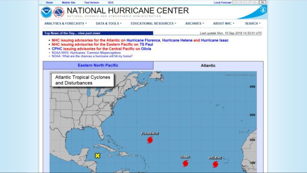
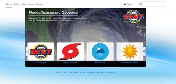
Florida Hurricane GIS Resources
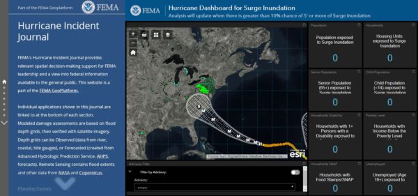
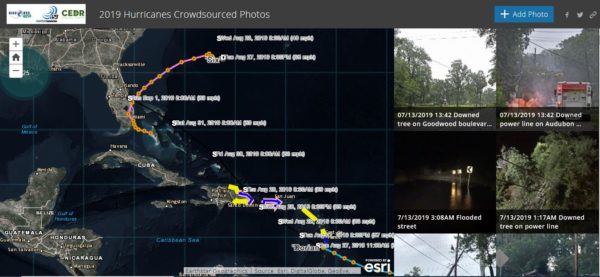
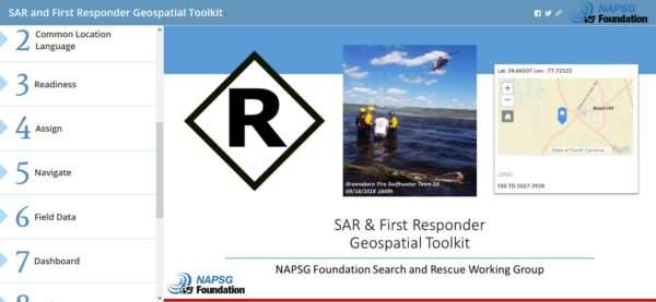
Florida Division of Emergency Management makes several key resources available to support disaster readiness and response efforts.

Hurricane Forecasts and Advisories

NOAA’s National Hurricane Center – For the most authoritative source for Hurricane Advisories visit the NHC website at https://www.nhc.noaa.gov/.


Hurricane Situational Awareness

FEMA’s Hurricane Incident Journal – Provides relevant spacial decision-making support and is available to the general public at https://bit.ly/2MXR7Zb.

NAPSG has a light-weight and publicly accessible situational awareness viewer for the community to access basic information on incidents and forecasts. Visit: https://bit.ly/2OgwNit.

2019 Hurricane Crowdsourced Photo App

Use this app and map to get a picture of 2018 hurricane damage at the ground level.
How you can help? Sleuth the web for photos from social media (Facebook, Twitter, etc.) that indicate flood impact in areas affected by 2018 hurricanes and have a location identified (street address, neighborhood, town, etc.) and add them to the map. https://arcg.is/1Kf5XSย 

SAR and First Responder Geospatial Toolkit

Use this Story Map template to implement a common geospatial framework and suite of templates for disaster response search and rescue (SAR) and emergency response missions. Interoperability between SAR and first responder teams is critical to response and recovery.

Preliminary Damage Assessment Templates

FEMA has released two standardized template forms that match the information required by FEMA to evaluate requests for the Public Assistance (PA) and Individual Assistance (IA) FEMA Recovery Programs.

For more information on the FEMA PDA Templates and technical guidance to support implementation, visit: https://bit.ly/2x6DbSO.

Open Data for Disasters

Access the latest incident data available from FEMA and other partners to support situational awareness and decision making in support of hurricanes. Visit: https://communities.geoplatform.gov/disasters/


Identify Local and State Data Sources and Contacts

This web map provides you with links to active state geospatial open data portals and key points of contact to aid in the search and discovery of local and state GIS data. https://bit.ly/2x0GtXv