August 29, 2019
Last Updated: 1:49PM EDT
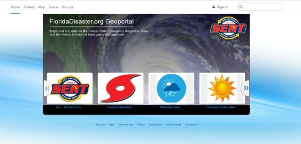 Florida Hurricane GIS Resources
Florida Division of Emergency Management makes several key resources available to support disaster readiness and response efforts.
- FloridaDisaster.org GeoPortal – Maps and GIS data for the Florida State Emergency Response Team and the Florida Division of Emergency Management: https://floridadisaster.maps.arcgis.com/home/index.html
- Florida’s GATOR Situational Awareness Viewer: https://floridadisaster.maps.arcgis.com/apps/webappviewer/index.html?id=f5628cfc02ca42b4a3853c69d8ff804b
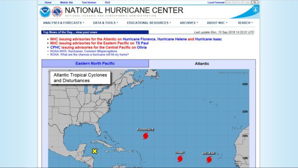 Hurricane Forecasts and Advisories
NOAA’s National Hurricane Center – For the most authoritative source for Hurricane Advisories visit the NHC website at https://www.nhc.noaa.gov/.
Hurr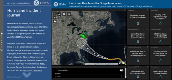 icane Situational Awareness
FEMA’s Hurricane Incident Journal – Provides relevant spacial decision-making support and is available to the general public at https://bit.ly/2MXR7Zb.
NAPSG has a light-weight and publicly accessible situational awareness viewer for the community to access basic information on incidents and forecasts. Visit: https://bit.ly/2OgwNit.
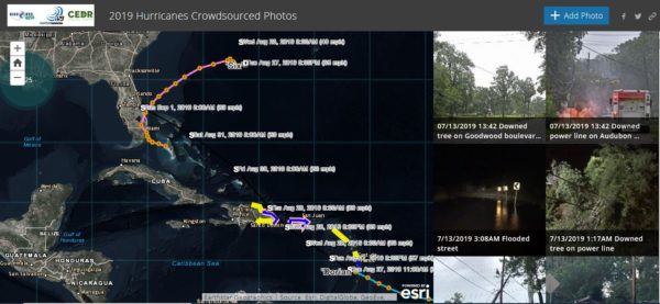 2019 Hurricane Crowdsourced Photo App
Use this app and map to get a picture of 2018 hurricane damage at the ground level.
How you can help? Sleuth the web for photos from social media (Facebook, Twitter, etc.) that indicate flood impact in areas affected by 2018 hurricanes and have a location identified (street address, neighborhood, town, etc.) and add them to the map. https://arcg.is/1Kf5XS
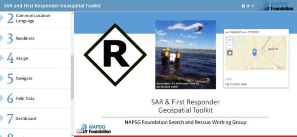 SAR and First Responder Geospatial Toolkit
Use this Story Map template to implement a common geospatial framework and suite of templates for disaster response search and rescue (SAR) and emergency response missions. Interoperability between SAR and first responder teams is critical to response and recovery.
- Learn More – Check out an overview of the toolkit at https://arcg.is/0SjS85
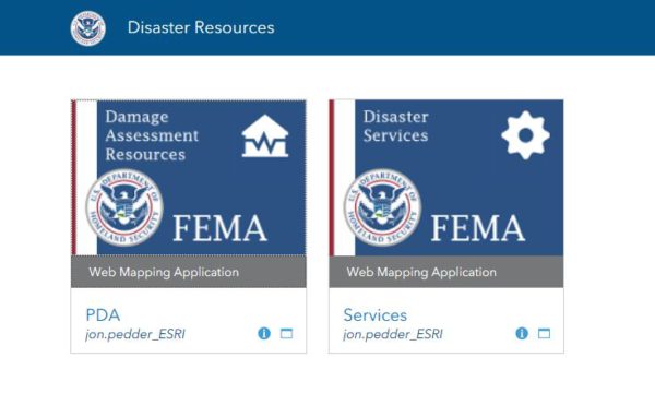 Preliminary Damage Assessment Templates
FEMA has released two standardized template forms that match the information required by FEMA to evaluate requests for the Public Assistance (PA) and Individual Assistance (IA) FEMA Recovery Programs.
For more information on the FEMA PDA Templates and technical guidance to support implementation, visit: https://bit.ly/2x6DbSO.
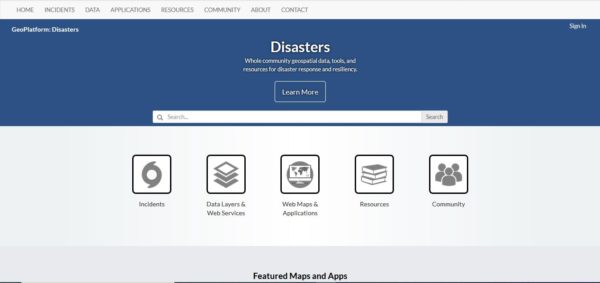 Open Data for Disasters
Access the latest incident data available from FEMA and other partners to support situational awareness and decision making in support of hurricanes. Visit: https://communities.geoplatform.gov/disasters/
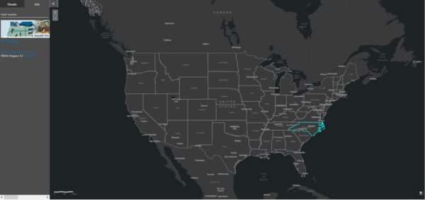 Identify Local and State Data Sources and Contacts
This web map provides you with links to active state geospatial open data portals and key points of contact to aid in the search and discovery of local and state GIS data. https://bit.ly/2x0GtXv


