GIS facilitates the effective allocation of personnel, equipment, and other resources by identifying the location of available support resources and helping determine how to get them to the right place to support critical operations
CrawlUsing paper-based maps in an agency or on an incient that depict where resources are headquarters (or deployed) is a good first step to supporting logistics. To this map, agencies often add Sectors, First-due areas, fleet support locations, fueling locations, and staging areas. |
WalkMigrating to an online version of these maps is the next step with GIS – and allowing the users to interact with it to pan, zoom, and query for information. |
RunFinally, a web mapping solution that is integrated with other major Public Safety systems (CAD, RMS, AVL, and Staffing) allows the logistics workflows of the agency to be available and helpful to all members. From tactical/situational awareness to a view of who is available, scheduled for maintenance, or out of service becomes a GIS supported dashboard of the department that creates efficiency every shift. |
| Example: Salt Lake City Fire Station Locator | Example: Salt Lake City Fire Station Locator | Example: Mapping Chicago Fire Stations & Arsons |
More Resources
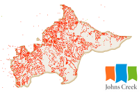 Fire Department Incidents
All incidents to which the Johns Creek Fire Department has responded since the inception of the department, in Johns Creek, GA.
Type: Feature Service
Last Modified: October 20, 2021
 Salem Fire Department Station Response Areas
Interactive map showing Salem Fire Department Station Response Areas
Type: Web Map
Last Modified: June 10, 2022
 West Covina Fire Department Stations
The West Covina Fire Department has five fire stations located throughout the city.
Type: Feature Service
Last Modified: February 24, 2022
 Fire Departments (Taxable and Incorporated)
Yavapai County taxable fire districts and incorporated fire departments for ArcGIS Online, Open Data, and other online applications. Map Service use for publishing for Open Data.
Type: Feature Service
Last Modified: July 12, 2023
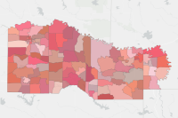 Fire Departments
Fire Department boundaries within the Ark-Tex Council of Governments region
Type: Feature Service
Last Modified: February 23, 2023
 Fire Departments
Contact information for fire departments in Alaska.
Type: Feature Service
Last Modified: May 3, 2024
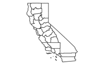 CAL FIRE Administrative Units
CAL FIRE Administrative Unit boundaries (including Contract Counties). CAL FIRE administrative levels include statewide (Headquarters), Regions and Units. This dataset provides the polygons associated with CAL FIRE field Units, and contract counties. Hosted on CAL FIRE AGOL.
Type: Feature Service
Last Modified: March 26, 2024
 Fire Department ID (Public View)
Polygon layer for Fire Department Identification (FDID). Internally referred to as Fire Protection District.
Type: Feature Service
Last Modified: March 8, 2023
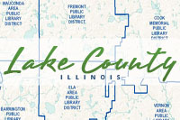 Fire Protection District and Municipal Fire Departments
Fire Protection District and Municipal Fire Departments within Lake County, Illinois.
Type: Feature Service
Last Modified: March 2, 2023
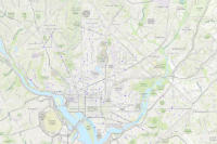 DC Fire Stations
Fire Stations in the District of Columbia.
Type: Feature Service
Last Modified: February 14, 2024


