Resources
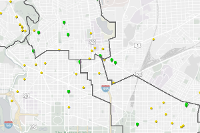
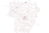
 DC 311 Service Request Map
Web map used to power the DC 311 web app.
Type: Web Map
Last Modified: January 4, 2024
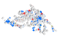
 DC 311 Service Request (HSEMA) Map
Web map of DC 311 SR's
Type: Web Map
Last Modified: February 6, 2023
 eLight
Street and security light layer for security light verification
Type: Feature Service
Last Modified: April 22, 2024
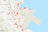 Secure Gate
SFO secure gates. Models airfield access gates along fences or other barriers intended to restrict access unless proper verification is provided to pass through to get to the AOA/restricted areas.
Type: Feature Service
Last Modified: March 22, 2023
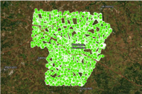
 Dixie Wildfire Predicted Building Damage August 12th 2021
Dixie Wildfire Predicted Building Damage August 12th 2021
Type: Feature Service
Last Modified: August 14, 2021
 Fayette County Ohio GIS Road Centerlines Location Based Response System (LBRS)
Fayette County Ohio GIS Road Centerlines. The information provided is for reference only and subject to independent verification. User assumes all responsibility for its use.
Type: Feature Service
Last Modified: April 24, 2024
 Fayette County Ohio GIS Addresses Location Based Response System (LBRS)
Fayette County Ohio GIS Addresses Location Based Response System (LBRS). The information provided is for reference only and subject to independent verification. Fayette County Ohio GIS is the source. Email GIS Director scott.cormany@fayette-co-oh.com for more information.
Type: Feature Service
Last Modified: March 6, 2024
 Nuclear Power Plants Switzerland
Nuclear power plants in Switzerland 2022
Type: Feature Service
Last Modified: March 2, 2023
 Talbot_Mills
The Massachusetts Dams data layer contains points derived from a dam safety database maintained by the Massachusetts Office of Dam Safety (ODS) . The datalayer contained an identical number of records as the ODS database at the time it was created. New records may have subsequently been added to the ODS database that are not reflected in this GIS datalayer. There are many additional fields and information maintained by the ODS in their database that are not included in the GIS data. These data have been excluded for privacy, security, accuracy and administrative reasons.
Type: Feature Service
Last Modified: May 9, 2022
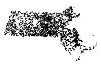 All_First_Dams_Share
The Massachusetts Dams data layer contains points derived from a dam safety database maintained by the Massachusetts Office of Dam Safety (ODS) . The datalayer contained an identical number of records as the ODS database at the time it was created. New records may have subsequently been added to the ODS database that are not reflected in this GIS datalayer. There are many additional fields and information maintained by the ODS in their database that are not included in the GIS data. These data have been excluded for privacy, security, accuracy and administrative reasons.
Type: Feature Service
Last Modified: February 15, 2023


