Resources
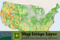 Wildfire Hazard Potential, Version 2018 Classified
This dataset is the wildfire hazard potential (WHP), version 2018, classified into 5 classes: very low, low, moderate, high, and very high. It is intended for use in strategic wildland fuels and land management planning at broad scales.
Type: Map Service
Last Modified: December 8, 2020
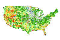
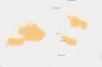
 Wildfire Hazard Potential (WHP)
This dataset is the classified wildfire hazard potential (WHP). It is intended for use in strategic wildland fuels and land management planning at mostly...
Type: Feature Service
Last Modified: September 13, 2022
 Wildfire Hazard Potential, Version 2018 Classified -
This dataset is the wildfire hazard potential (WHP), version 2018, classified into 5 classes: very low, low, moderate, high, and very high. It is intended for use in strategic wildland fuels and land management planning at broad scales.
Type: Map Service
Last Modified: July 17, 2020
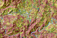
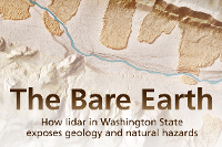 The Bare Earth — How lidar in Washington State exposes geology and natural hazards
Geologists in Washington State use lidar to map geology and study natural hazards. This narrative features dozens of lidar images to illustrate how the technology is used.
Type: Web Mapping Application
Last Modified: May 22, 2018
 Wildfire Hazard Potential, Version 2018 Classified - copy
This dataset is the wildfire hazard potential (WHP), version 2018, classified into 5 classes: very low, low, moderate, high, and very high. It is intended for use in strategic wildland fuels and land management planning at broad scales.
Type: Map Service
Last Modified: October 15, 2020
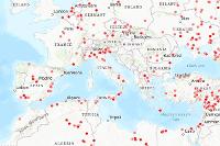
 Hazard - Wildfire - Live - VIIRS - Thermal Hotspots and Fire Activity (NOAA/NASA)
Thermal activity detected by the VIIRS sensors on the NOAA/NASA Suomi NPP and NOAA-20 satellites during the last 7 days.
Type: Feature Service
Last Modified: October 2, 2023
 RMRS_WildfireHazardPotential_2018
Wildfire Hazard Potential for 2018.
Type: Map Service
Last Modified: January 2, 2019
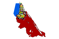 PacificaLCP_WebMapper
This Webmap shows the hazard and asset data presented in the draft Vulnerability Assessment for the Pacifica Sea Level Rise LCP Update Project.
Type: Feature Service
Last Modified: February 23, 2023
 USFS Wildfire Hazard Potential 2018
Wildfire Hazard Potential for 2018.
Type: Map Service
Last Modified: April 22, 2020
 Satellite (MODIS) Thermal Hotspots and Fire Activity
Thermal activity detected by the MODIS sensors on the NASA Aqua and Terra satellites during the last 48 hours and 7 days.
Type: Feature Service
Last Modified: April 26, 2024


