Resources
 CAPSTONE Situational Awareness Viewer
This is a Situational Awareness Viewer that supports local Emergency Management training and response operations in the cities of Denver, Las Vegas, Los Angeles, San Francisco, and Seattle. The image source for the thumbnail is solutions.arcgis.com.
Type: Web Mapping Application
Last Modified: March 21, 2018
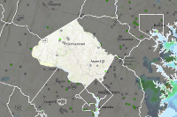
 Spotsylvania County Emergency Management Group **EXERCISE ONLY***
***EXERCISE ONLY*** Spotsylvania County Emergency Management Group Product Gallery to share nine information products as they relate to Spotsylvania County Emergency Management.
Type: Web Mapping Application
Last Modified: May 17, 2020
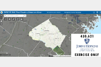
 Hudson County Flood Situational Awareness Web Map Template (JHU GIS for EM)
This is a web app for Hudson County Situation Awareness with layers that address core information needs during Preparedness, Readiness, Response, and recovery for flood-related disasters.
Type: Web Mapping Application
Last Modified: August 13, 2020
 Spotsylvania County Emergency Management Group **EXERCISE ONLY***
***EXERCISE ONLY*** Spotsylvania County Emergency Management Group Product Gallery to share nine information products as they relate to Spotsylvania County Emergency Management.
Type: Web Mapping Application
Last Modified: May 20, 2020
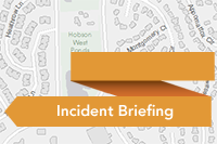 Montana Disaster and Emergency Services - Current Situational Awareness
Incident Briefing is a configuration of the Story Map Builder that can be used by emergency management personnel to brief key stakeholders during an incident or event.
Type: Web Mapping Application
Last Modified: February 12, 2024
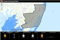
 Situational Awareness Viewer
EXERCISE ONLY. Situational Awareness Web App for Montgomery County Maryland with layers that address core information needs during flood related disasters.
Type: Web Mapping Application
Last Modified: August 16, 2020
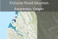 Fictional Situational Awareness Viewer
This is a web app for Humboldt County Situation Awareness. EXAMPLE ONLY.
Type: Web Mapping Application
Last Modified: August 19, 2019
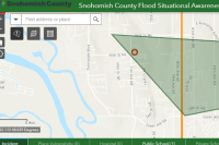 Snohomish County Flood Situational Awareness Map - VL
This map app for Snohomish County Situation Awareness with layers addressing core information needs for preparedness, response, readiness, and recovery of flood related disasters.
Type: Web Mapping Application
Last Modified: August 9, 2021
 Flood Situational Awareness Web Map Template (JHU GIS for EM) Levy
This is a web map with layers that address core information needs during Preparedness, Readiness, Response, and Recovery for flood related disasters.
Type: Web Map
Last Modified: July 19, 2020
 GIS Data and Tools for Today's Emergency Managers
This is a Cascade Story Map that contains the information on the data, tools, and workflows produced and utilized for the project, GIS Data and Tools for Today's Emergency Managers. The image source for the thumbnail is Esri, Flickr, and Jason Lowe.
Type: Web Mapping Application
Last Modified: March 21, 2018


