Re-entry after a disaster is a pressure-filled process of communication within the community to help them discover where hazards continue to exist in their community and obtain information re-entry timing, routes, and special conditions.
CrawlHelp obtain information about where hazards continue to exist in their community and obtain information re-entry timing, routes, and special conditions by creating paper maps that can be used when briefing the community and media. |
WalkProviding an online application of this mapping supports the dissimination of important information 24 hours a day, seven days a week, and typically supplements customer service phone numbers staffed by government and non-government organizations. |
RunExtending the online capability you have created, you can link the data and map symbols to information coming from the field. For example, linking the status of a re-entry zones, shelters (open, closed, empty, full, capacity) provides updates to incident managers and the public. |
| Example: Hurricane Evacuation Routes for South Carolina | Example: Search Public Warning at ArcGIS Online | Example: USGS Map of Active Floods |
More Resources
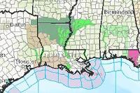 USA Weather Watches and Warnings

A live data feed from the National Weather Service containing official weather warnings, watches, and advisory statements for the United States.
Type: Feature Service
Last Modified: February 16, 2024
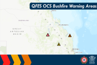 QFES OCS Warnings Areas Public View

QFES Public Warnings over an area updated on demand from the QFES OCS Warnings System.
Type: Feature Service
Last Modified: June 3, 2022
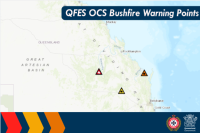 QFES OCS Warnings Points Public View

QFES Public Warnings points updated on demand from the QFES OCS Warnings System.
Type: Feature Service
Last Modified: December 15, 2021
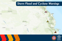 Storm Flood Cyclone Warning Points Public View

Flood Storm and Cyclone Warnings Point Dataset for Public Viewing of Storm Flood Cyclone Events.
Type: Feature Service
Last Modified: December 3, 2023
 Road Closures and Warnings (Public)

Road Closures and Warnings
Type: Feature Service
Last Modified: February 5, 2024
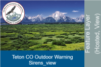 Teton CO Outdoor Warning Sirens_view

Public view layer of Teton County WY Emergency Management's outdoor warning sirens.
Type: Feature Service
Last Modified: August 25, 2022
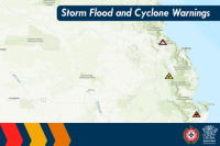 Storm Flood Cyclone Warning Area Public View

Flood Storm and Cyclone Warnings Area Dataset for Public Viewing of Storm Flood Cyclone Events.
Type: Feature Service
Last Modified: March 4, 2024
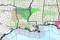 Sample - USA Weather Watches and Warnings

This SAMPLE layer of the National Weather Service data feed indicates a variety of weather warnings, watches, and advisory statements.
Type: Feature Service
Last Modified: April 17, 2023
 USA Weather Watches and Warnings

A live data feed from the National Weather Service containing official weather warnings, watches, and advisory statements for the United States.
Type: Feature Service
Last Modified: January 9, 2021
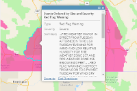 Weather Warnings (Fire related, National Weather Service)

This is a linked copy of the NWS Weather Watches and Warning layer, filtered just for wildfire-related warnings.
Type: Feature Service
Last Modified: May 7, 2020


