April 8, 2020
On behalf of the National Alliance for Public Safety GIS (NAPSG) Foundation, the National States Geographic Information Council (NSGIC), and the Urban and Regional Information Systems Association (URISA) – we are requesting your participation in the Inventory of Data Feeds for Health/Medical Capabilities.
Our request: We are requesting the geospatial community to participate in a nationwide effort to build an inventory of existing data feeds for health/medical capability reporting in support of COVID-19 – and for increasing public health data preparedness into the future.
Action – We need YOU to participate!
- Please take 5 minutes today to complete the Inventory Form: https://arcg.is/1XjG0S
- Note: If you discover additional data feeds/services after submitting the form, simply complete and submit the form again to add more data feeds/services to the inventory.
Purpose: The purpose of this Inventory is to catalogue existing efforts across the local, county, state, and tribal levels where GIS is in use for health/medical capability reporting and information management. This inventory is designed to provide situational awareness on existing reporting data – that is already being managed in a consistent and interoperable format – so that it can be leveraged to inform decision makers and help reduce manual reporting. The inventory of open data feeds and services built through this effort will be made available to the community since this data is already open and available.
What Are We Inventorying: Local, county, and state derived health/medical capability reporting data feeds and services. This includes, but is not limited to data feeds containing any of the following data: ICU bed availability, ICU beds in-use for covid-19, ventilator availability, PPE supplies for medical staff (face masks, gowns, etc). It is meant to capture all local and state health/medical capability reporting data beyond what is made available in the Definitive Healthcare hospital dataset.
Why Inventory these Data Feeds: Currently there are multiple efforts underway for reporting data on key health/medical capability indicators (i.e. ICU bed capacity & availability, ventilator capacity & availability). The key issues with these disparate data collection and management efforts are:
- Inconsistency and duplication in the data requests regarding the data points (or schema) and formats being requested.
- Reliance on manual data entry, creating additional burden on an already strained healthcare workforce.
- Failure to leverage existing automated reporting capability already being made available at the local and state levels.
- Do not support standardized and interoperable formats necessary to achieve the open and transparent hospital capability analysis needed across the public health and emergency management community.
What this Inventory Solves:
- Encourages a nationwide reporting framework that leverages the power and intelligence of geospatial information management to reduce duplication of reporting burdens – by leveraging existing data feeds that are open, secure, and interoperable.
- Provides broad awareness on existing local and state health/medical capability reporting data already available as a feed or service.
- Increases transparency and appropriate information sharing of existing health/medical capability reporting data that is both open and secured.
- Identifies consistent and interoperable dynamic and/or live data sources for reporting data, which should be leveraged to alleviate manual data entry burdens.
- Encourages a standards-based approach to collect and manage health/medical capability reporting data, while increasing the usability of the data for analysis and modeling that informs policy.
Be sure to participate in building this inventory today!
- Inventory Form: https://arcg.is/1XjG0S

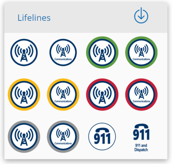
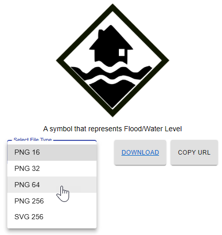 Choose File and Icon Types: Symbol size, status, and format options are available for each symbol, as appropriate. A new feature in the tool will allow you to more readily review and select the file and icon types applicable to your needs.


