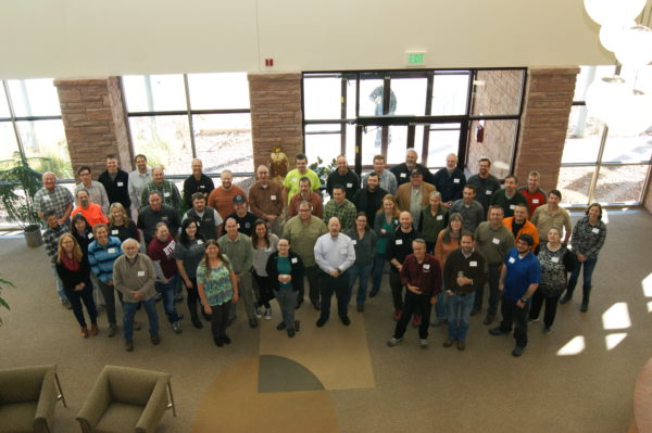
On November 6-8, 2017, NAPSG Foundation’s Search & Rescue GIS Working Group gathered with more than 50 Search & Rescue (SAR) leaders and GIS responders at the Esri Office in Broomfield, Colorado, for the highly anticipated 9th Annual Search & Rescue GIS Workshop. The purpose of the SAR GIS Workshop was to build capacity and advance the use of location and analytics-based decision support tools across the SAR community for missing persons and disaster SAR. The diversity of perspectives and experiences generated a rich dialogue around challenges and potential solutions.
The workshop included keynotes from national SAR leaders, lightning talks by local practitioners on emerging best practices, and it culminated with a work session to bring technology and operations together. Additionally, the workshop provided hands-on basic and advanced training on building GIS products and solutions to support incident management and SAR operations.
Provided below is copy of the SAR GIS Workshop Agenda linked with the materials from nearly all sessions and keynote addresses.
** Please feel free to use this material as a reference and tool in your efforts, and be sure to provide proper attribution to the individual content author when referencing the materials below in your writing, presentations, and other related material.**
To learn more about the NAPSG Foundation SAR GIS Working Group, visit: http://arcg.is/1LuO9L.
Day 1 – Materials
What is SARGIS? Who We Are & What We Do [PDF] [YouTube]
- Paul Doherty & Jared Doke | NAPSG Foundation
The Role of Geospatial in Urban Search & Rescue [PDF]
- Scott Olsen | Boone County Fire Protection District
The Role of Geospatial in National Park Service Emergency Services [PDF]
- Andrew Hower | National Park Service
MyUSNG + Explorer for ArcGIS [PDF]
- Doug Morgenthaler | Esri
The Role of Geospatial in the Mountain Rescue Association [PDF]
- Bryan Enberg | Mountain Rescue Association
Case Study: Snow Leopard SAR [PDF] [YouTube]
- Curtis DeVault | Gallatin County Search & Rescue
Lessons Learned from Hurricanes Harvey, Irma, and Maria [PDF] [YouTube]
- Carla Boyce | NAPSG Foundation
Case Study: Use of Unmanned Aircraft Systems (UAS) in SAR [PDF] [YouTube]
- Brandon Torres | Grand Canyon National Park
Technology Speed Geeking: Lightning Talks [YouTube]
- Probability of Area in SAR [PDF]
- FEMA GIS: Parcel Data for Response [PDF]
- Maps + Apps + Rangers [PDF]
- Taking WebGIS Maps with You [PDF]
- I’ve got Drones…now what? Emerging patterns of UAS in SAR [PDF]
Day 2 & 3 – Materials