
Planning
Data created and used during the planning phase is key to reducing risk, improving outcomes, and maximizing resource distribution. The common denominator in successful GIS for planning is data management. Good data management will allow you to operate your plans, leveraging these plans throughout the preparedness, response, and recovery phases of emergency services.

Preparedness
Reducing the occurrence and impact of emergencies is the most immediate benefit of a good planning program. But of course, even with the best planning and prevention plan, bad things do happen. Understanding the risk potential in a community is a necessary prerequisite to developing an effective program for responding to the emergencies that do happen. GIS plays an important role in reducing, mitigating, and preparing for emergency incidents.
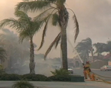
Response
When the alarm sounds, getting to the scene as quickly as possible is the #1 priority. Decisions made in the first few minutes of an incident will determine the outcome of the response. Rapid response, good information, situational awareness, and bi-directional communications are all critical components of effective command and leadership. GIS has become a powerful tool to get the right data to the right people at the right time to aid in emergency response.
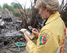
Recovery
A solid GIS capacity designed to support planning, preparedness, and response will set the stage for a well-run recovery operation. Understanding the impact of the emergency on an entire community — the people, the infrastructure, the natural systems — requires data from many sources. Establishing priorities, tracking assets, managing finances, and all aspects of recovery can be supported by a strong GIS.


