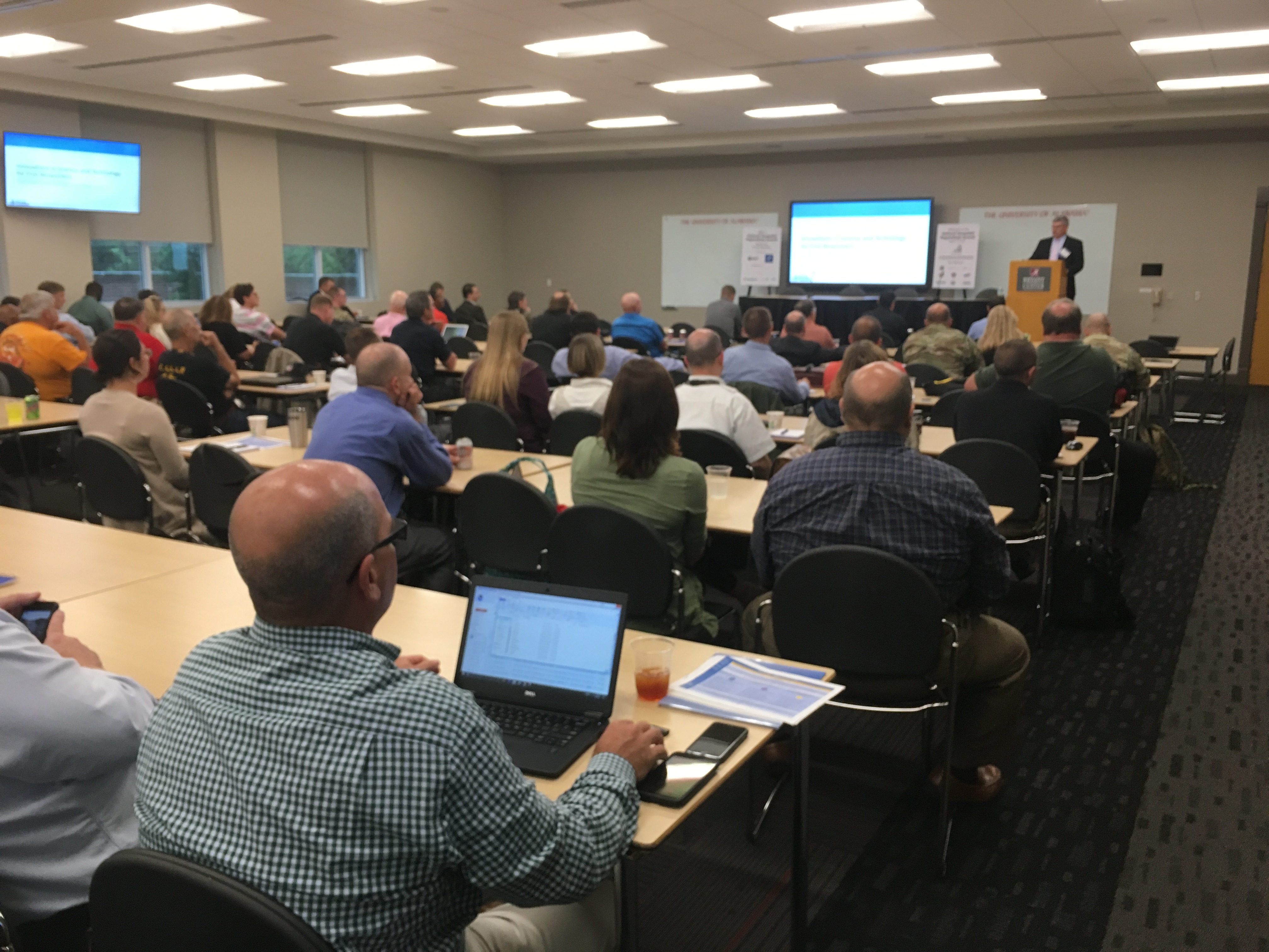
On August 7-9, 2017, the National Alliance for Public Safety GIS (NAPSG) Foundation brought together over 215 of the nation’s public safety and GIS professionals for the 3rd annual National Geospatial Preparedness Summit. The 2017 NGPS was hosted at the University of Alabama in Tuscaloosa. It was conducted in coordination with the US Department of Homeland Security, International Association of Fire Chiefs, International Association of Emergency Managers, National Association for Search and Rescue, the National States Geographic Information Council, and the Naval Post-Graduate School.
NGPS is the nation’s only preparedness Summit dedicated to advancing the use of location-enabled decision support technology and data. It is a unique education, training, and exercise forum that is both local in context and national in scope. This year’s program included hands-on technical training on the latest technology and data analytics for homeland security and public safety. It also included a number of workshops, tabletop exercises, plenary sessions with keynote speakers, and culminated in a functional exercise based around a flood scenario.
Provided below is a copy of the 2017 NGPS Agenda linked with the materials from nearly all sessions and keynote addresses. Please feel free to use this material as a reference tool in your efforts. Be sure to provide proper attribution to the individual content author when referencing the materials in your writing, presentations, or other related materials.
FINAL AGENDA – 2017 NGPS
Day 1: August 7
- Intro to Web GIS for Public Safety (Parts 1 and 2)
- ArcGIS Pro and ArcGIS Online Training for Public Safety
- Configuring Apps for Common Public Safety Workflows
- Data Preparedness Workshop
- Keynote: Lessons Learned in GIS Collaboration and Preparedness from California
(Phil Beilin, City of Walnut Creek, California) - Materials on Homeland Infrastructure Foundation Level Data (HIFLD)
- Keynote: Lessons Learned in GIS Collaboration and Preparedness from California
- Executive Seminar: Present and Future State of Situational Awareness Capabilities
- Agenda and Materials
Day 2: August 8
- Opening Remarks
- Keynote: Achieving Intelligent Disaster Operations from the Field to the EOC
(Josh Dozor, Director, Planning Division, FEMA) - Keynote: How Disasters Force Collaboration and Enable Us to Think Entrepreneurially
(Rob Robertson, Tuscaloosa County Emergency Management Agency) - Workshop: Unifying Efforts Among Local & State Public Safety with national Guard for Domestic Operations
(General William Reddel, Adjunct General, New Hampshire National Guard) - Panel & Discussion: First Responder Emerging Technologies
- New and Emerging Capabilities from DHS S&T (Dr. David Alexander, DHS S&T)
- Innovations in Technology for Resource Management (Jeff Dulin, IAFC)
- Los Angeles Regional Cloud-Based Public Safety Information Sharing Platform (Devra Schwartz, Los Angeles Homeland Security Advisory Council)
- Innovations in Public Safety Technology (Dr. Laura Myers, Center for Advanced Public Safety, University of Alabama)
- Ignite Talks: Mutual Aid Operations and Resource Management
- National Mutual Aid Technology Exercise Update (Rebecca Harned, Director National and Federal, NAPSG Foundation)
- Mutual Aid Technology Outcomes and Available Tools AND Bringing Emerging Tech and IoT to Resource Management (Don McGarry, ArdentMC)
- Taking GIS Into the Field for Disaster Response (David Allen, Texas Emergency GIS Response Team)
- Resource Typing and Mission Ready Packaging GIS Resources (Richard Butgereit, Florida Division of Emergency Management)
- Keynote: Innovations in Science and Technology for First Responders
(Dan Cotter, Director, First Responders Group, DHS S&T) - Keynote: State and Future of Public Alert and Warning Technology
(Mark Lucero, Integrated Public Alerts and Warnings, FEMA) - Panel: National Policy and Tools for Geospatial Coordination
- GeoCONOPS, HIFLD, and the Geospatial Information Infrastructure (Mike Donnelly, DHS Geospatial Management Office)
- National Map Program and Disaster Response Data Resources (Lance Clampitt, USGS)
- NOAA Emergency Response Imagery (Mike Aslaksen, NOAA Remote Sensing)
- GIS Inventory (Richard Butgereit, Florida Division of Emergency Management)
- Information Sharing Capability Maturity Model (Ron Langhelm, DHS S&T)
- Panel Demonstrations: Best Practices in the Use of GIS by Local First Responders
- A Look Back at the History of the AGS and AAG (Ted Okada, CTO, FEMA)
- The Pre-Incident Planning System (Amy Hoyt, Lee County and Dan Sieber San Carlos Park Fire District)
- Tools and Resources for Pre-Incident Planning and Indoor Mapping (Chris Rogers, Kirkland Fire Department)
- GIS Training Resources for Search and Rescue (Bryan Enberg, National Association for Search and Rescue)
- Workshop: Implementing Consistent Workflows for Damage Assessment Across Local, State, and Federal Agencies
- Plenary Case Studies on Flood Preparedness and Response
- Lessons Learned in Using GIS for Georgia Flooding with CERT (Alan Stensland, FAA and International Association of Emergency Managers)
- Best Practices in GIS Use for Flood Preparedness and Response from Recent Disasters (Jeff Baranyi, Esri)
Day 3 – August 9
- Keynote: Key Initiatives and Recent Lessons Learned in Innovations for Flood Forecasting and Modeling
(Trey Flowers, Division Director of Analysis and Prediction, National Water Center) - Briefing: Preparedness and Exercise Resources in PrepToolkit
(David Blakeman, Contract Support, FEMA) - Exercise: Rising Waters
- Exercise Opening Slides
- Exercise Situation Manual
- Exercise After Action Report (Coming Soon!)
Check out our Photo Gallery from NGPS 2017!